
Файл:Location Vogelsberg.PNG
Чоңураак нускасы жок.
Location_Vogelsberg.PNG (506 × 439 пиксель, файлдын өлчөмү: 40 KB, MIME түрү: image/png)
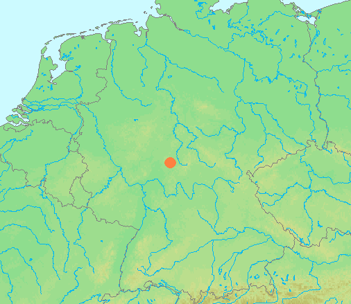
| Сыпаттама | Locator maps for mountain ranges : Location Vogelsberg.PNG |
| Булак | demis maps, see below |
| Автор |
This image is in the public domain because it came from the site https://www.demis.nl/products/web-map-server/examples/ and was released by the copyright holder. Permission is granted to copy, distribute and/or modify this map since it is based on free of copyright images from: www.demis.nl. See also approval email on de.wp and its clarification.
|
| This work has been released into the public domain by its copyright holder, www.demis.nl. This applies worldwide. In some countries this may not be legally possible; if so: www.demis.nl grants anyone the right to use this work for any purpose, without any conditions, unless such conditions are required by law.
|
Файлдын тарыхы
Файлдын мурдагы нускасын көрүү үчүн тийиштүү убакыт/датаны басыңыз
| Убакыт/дата | Миниатюра | Өлчөм | Колдонуучу | Түшүндүрмө | |
|---|---|---|---|---|---|
| учурдагы | 13:43, 29 июнь 2007 | | 506 × 439 (40 KB) | Michiel1972 | {{Information |Description=Locator maps for mountain ranges : {{subst:PAGENAME}} |Source=demis maps, see below |Date= |Author={{Statistics Netherlands map}} |Permission=see below |other_versions= }} {{PD-Demis}} [[Category:Maps of mountain_ranges_of_Eu |
Шилтемелер
Бул файл төмөнкү баракта колдонулат:
Файлдын глобалдык колдонулушу
Бул файл төмөнкү викилерде колдонулат:
- arz.wikipedia.org сайтындагы колдонулушу
- ceb.wikipedia.org сайтындагы колдонулушу
- cs.wikipedia.org сайтындагы колдонулушу
- de.wikivoyage.org сайтындагы колдонулушу
- nl.wikipedia.org сайтындагы колдонулушу
- www.wikidata.org сайтындагы колдонулушу