
Файл:Map of the historical region of (Iranian) Azerbaijan.png
Учурда көрсөтүлүүчү өлчөм: 652 × 600 пиксел Башка уруксаттар: 261 × 240 пиксел | 522 × 480 пиксел | 895 × 823 пиксел.
Түп нуска файл (895 × 823 пиксель, файлдын өлчөмү: 22 KB, MIME түрү: image/png)
_Azerbaijan.png)
Жыйынтыгы
| Сыпаттама |
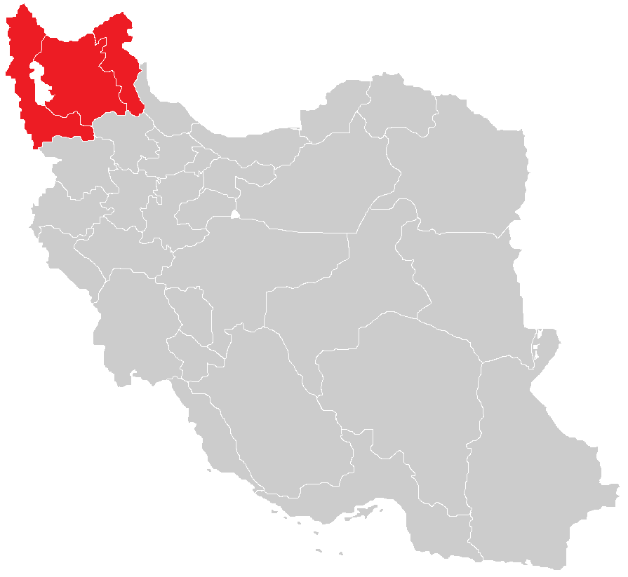
English: Map of the historical region of (Iranian) Azerbaijan |
| Дата | |
| Булак |
https://commons.wikimedia.org/w/index.php?title=File:Iranian-Azerbaijan.png&dir=prev#filehistory Based on the sources;
|
| Автор | HistoryofIran |
Лицензиялоо
This file is licensed under the Creative Commons Attribution-Share Alike 4.0 International license.
- Сиз буларга эркинсиз:
- бөлүшүү – чыгарманы көчүрүү, жайылтуу жана өткөрүп берүү
- ремикс кылуу – чыгарманы ылайыкташтыруу
- Төмөнкү шарттарда:
- атрибуция – Сиз тийиштүү насыя берип, лицензияга шилтеме калтырып жана өзгөртүүлөр болсо көрсөтүшүңүз керек. Сиз муну кандайдыр бир акылга сыярлык жол менен жасай аласыз, бирок лицензиар сизди же сиздин колдонууңузду жактырган кандайдыр бир жол менен эмес.
- Бирдей шарттар боюнча бөлүшүү – If you remix, transform, or build upon the material, you must distribute your contributions under the same or compatible license as the original.

|
This map image could be re-created using vector graphics as an SVG file. This has several advantages; see Commons:Media for cleanup for more information. If an SVG form of this image is available, please upload it and afterwards replace this template with
{{vector version available|new image name}}.
It is recommended to name the SVG file “Map of the historical region of (Iranian) Azerbaijan.svg”—then the template Vector version available (or Vva) does not need the new image name parameter. |
Файлдын тарыхы
Файлдын мурдагы нускасын көрүү үчүн тийиштүү убакыт/датаны басыңыз
| Убакыт/дата | Миниатюра | Өлчөм | Колдонуучу | Түшүндүрмө | |
|---|---|---|---|---|---|
| учурдагы | 13:28, 29 сентябрь 2023 | | 895 × 823 (22 KB) | HistoryofIran | rv, WP:RS contradicts this. |
| 09:24, 27 сентябрь 2023 |  | 895 × 823 (15 KB) | AkaneoMT | Added Zanjan province as a contested part of historical Azerbaijan | |
| 11:59, 19 январь 2022 |  | 895 × 823 (22 KB) | HistoryofIran | Uploaded a work by HistoryofIran from https://commons.wikimedia.org/w/index.php?title=File:Iranian-Azerbaijan.png&dir=prev#filehistory with UploadWizard |
Шилтемелер
Бул файлды колдонгон барактар жок.
Файлдын глобалдык колдонулушу
Бул файл төмөнкү викилерде колдонулат:
- azb.wikipedia.org сайтындагы колдонулушу
- bn.wikipedia.org сайтындагы колдонулушу
- diq.wikipedia.org сайтындагы колдонулушу
- en.wikipedia.org сайтындагы колдонулушу
- fr.wikipedia.org сайтындагы колдонулушу
- id.wikipedia.org сайтындагы колдонулушу
- ku.wikipedia.org сайтындагы колдонулушу
- lv.wikipedia.org сайтындагы колдонулушу
- mg.wikipedia.org сайтындагы колдонулушу
- ms.wikipedia.org сайтындагы колдонулушу
- nl.wikipedia.org сайтындагы колдонулушу
- ru.wikipedia.org сайтындагы колдонулушу
- sh.wikipedia.org сайтындагы колдонулушу
- simple.wikipedia.org сайтындагы колдонулушу
- sr.wikipedia.org сайтындагы колдонулушу
- uk.wikipedia.org сайтындагы колдонулушу
_Azerbaijan.png)