
Файл:Nouvelle-Calédonie collectivity location map centered.svg

Size of this PNG preview of this SVG file: 784 × 600 пиксел. Башка уруксаттар: 314 × 240 пиксел | 628 × 480 пиксел | 1 004 × 768 пиксел | 1 280 × 979 пиксел | 2 560 × 1 958 пиксел | 1 017 × 778 пиксел.
Түп нуска файл (SVG файл, шарттуу түрдө 1 017 × 778 пиксел, файлдын өлчөмү: 144 KB)
Жыйынтыгы
| Camera location | | View this and other nearby images on: OpenStreetMap |
|---|
| Сыпаттама |
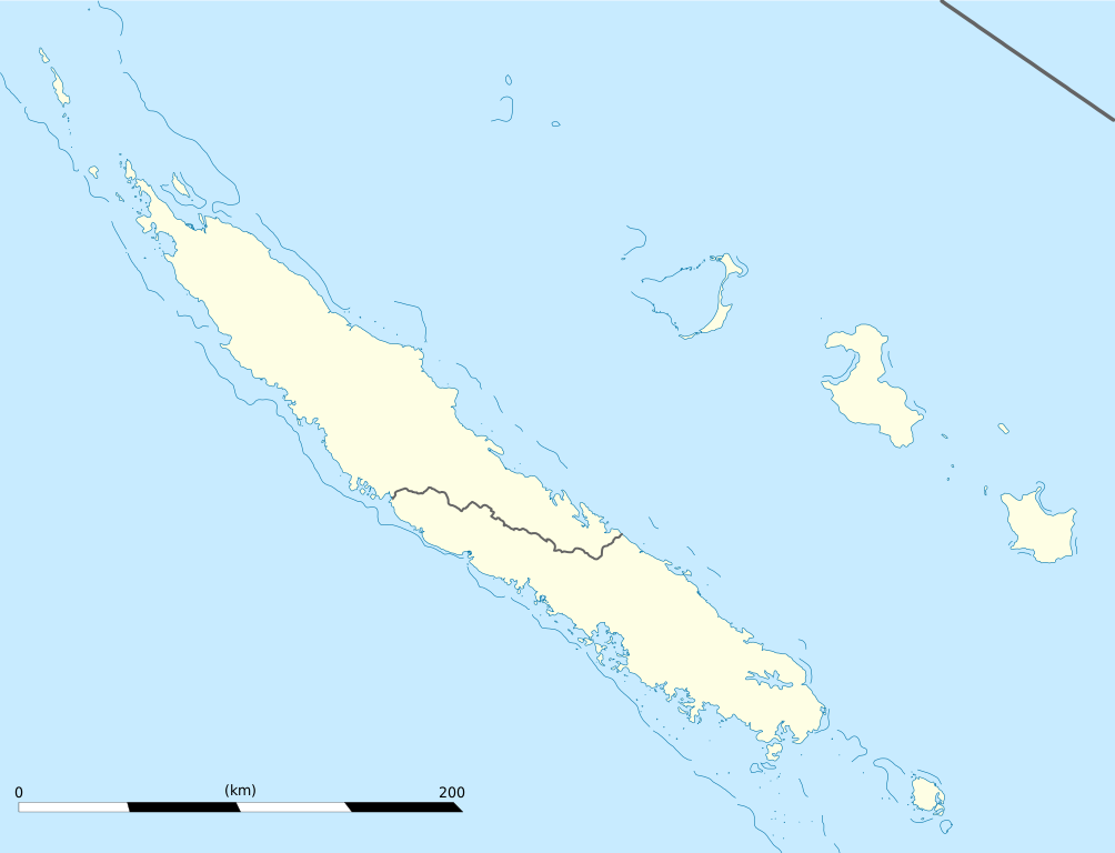
English: Blank administrative map of the territorial collectivity of New Caledonia, France, for geo-location purpose.
This is a map centered on the main islands. For a general map allowing to geo-locate the remote islands, see below. Français : Carte administrative vierge de la collectivité territoriale de Nouvelle-Calédonie, France, destinée à la géolocalisation. Ceci est une carte centrée sur les îles principales. Pour une carte générale permettant la géolocalisation des îles isolées, voir plus bas. Equirectangular projection, WGS84 datum
Geographic limits of the map:
|
||
| Дата | |||
| Булак |
Өздүк чыгарма
|
||
| Автор | Eric Gaba (Sting - fr:Sting) | ||
| Уруксат (Бул файлды кайрадан колдонуу) |
|
||
| Башка нускалар |
Derivative works of this file: Drapeau Province Nord Nouvelle Calédonie.svg
|

Лицензиялоо
I, the copyright holder of this work, hereby publish it under the following licenses:
This file is licensed under the Creative Commons Attribution-Share Alike 3.0 Unported license.
- Сиз буларга эркинсиз:
- бөлүшүү – чыгарманы көчүрүү, жайылтуу жана өткөрүп берүү
- ремикс кылуу – чыгарманы ылайыкташтыруу
- Төмөнкү шарттарда:
- атрибуция – Сиз тийиштүү насыя берип, лицензияга шилтеме калтырып жана өзгөртүүлөр болсо көрсөтүшүңүз керек. Сиз муну кандайдыр бир акылга сыярлык жол менен жасай аласыз, бирок лицензиар сизди же сиздин колдонууңузду жактырган кандайдыр бир жол менен эмес.
- Бирдей шарттар боюнча бөлүшүү – If you remix, transform, or build upon the material, you must distribute your contributions under the same or compatible license as the original.

|
Permission is granted to copy, distribute and/or modify this document under the terms of the GNU Free Documentation License, Version 1.2 or any later version published by the Free Software Foundation; with no Invariant Sections, no Front-Cover Texts, and no Back-Cover Texts. A copy of the license is included in the section entitled GNU Free Documentation License. |
Каалаган лицензияны тандай аласыз.
Файлдын тарыхы
Файлдын мурдагы нускасын көрүү үчүн тийиштүү убакыт/датаны басыңыз
| Убакыт/дата | Миниатюра | Өлчөм | Колдонуучу | Түшүндүрмө | |
|---|---|---|---|---|---|
| учурдагы | 19:09, 21 январь 2009 | | 1 017 × 778 (144 KB) | Sting | == Summary == {{Location|21|06|00|S|165|51|00|E|scale:2000000}} <br/> {{Information |Description={{en|Blank administrative map of the territorial collectivity of New Caledonia, France, for |
Шилтемелер
Бул файлды колдонгон барактар жок.
Файлдын глобалдык колдонулушу
Бул файл төмөнкү викилерде колдонулат:
- af.wikipedia.org сайтындагы колдонулушу
- als.wikipedia.org сайтындагы колдонулушу
- an.wikipedia.org сайтындагы колдонулушу
- ar.wikipedia.org сайтындагы колдонулушу
- ast.wikipedia.org сайтындагы колдонулушу
- az.wikipedia.org сайтындагы колдонулушу
- ba.wikipedia.org сайтындагы колдонулушу
- be-tarask.wikipedia.org сайтындагы колдонулушу
- be.wikipedia.org сайтындагы колдонулушу
- bg.wikipedia.org сайтындагы колдонулушу
- bn.wikipedia.org сайтындагы колдонулушу
- bs.wikipedia.org сайтындагы колдонулушу
- ceb.wikipedia.org сайтындагы колдонулушу
Бул файлдын глобалдык колдонулушун көрүү.