
Файл:LocationOceans.png
Учурда көрсөтүлүүчү өлчөм: 800 × 407 пиксел Башка уруксаттар: 320 × 163 пиксел | 640 × 326 пиксел | 1 024 × 521 пиксел | 1 280 × 651 пиксел | 2 759 × 1 404 пиксел.
Түп нуска файл (2 759 × 1 404 пиксель, файлдын өлчөмү: 55 KB, MIME түрү: image/png)

|
This locator map image could be re-created using vector graphics as an SVG file. This has several advantages; see Commons:Media for cleanup for more information. If an SVG form of this image is available, please upload it and afterwards replace this template with
{{vector version available|new image name}}.
It is recommended to name the SVG file “LocationOceans.svg”—then the template Vector version available (or Vva) does not need the new image name parameter. |
Жыйынтыгы
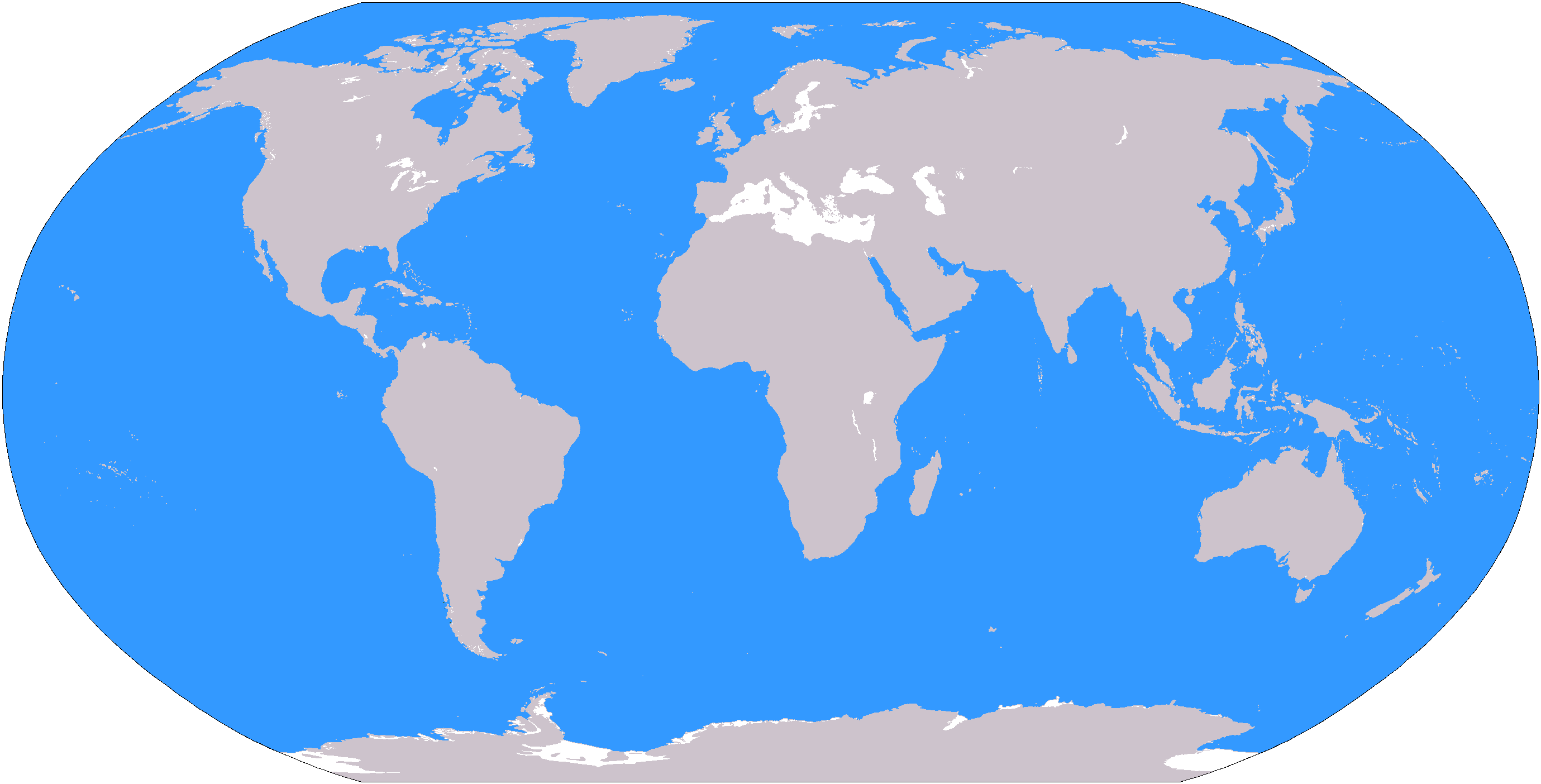
The large plain-grey Image:LocationWorld.png map modified to show oceanic areas in blue.
Лицензиялоо
This image is in the public domain because it contains materials that originally came from the United States Central Intelligence Agency's World Factbook.
|
 |
Файлдын тарыхы
Файлдын мурдагы нускасын көрүү үчүн тийиштүү убакыт/датаны басыңыз
| Убакыт/дата | Миниатюра | Өлчөм | Колдонуучу | Түшүндүрмө | |
|---|---|---|---|---|---|
| учурдагы | 19:26, 8 март 2006 | | 2 759 × 1 404 (55 KB) | David Kernow~commonswiki | The large plain-grey Image:LocationWorld.png map modified to show oceanic areas in blue. |
Шилтемелер
Бул файл төмөнкү 30 баракта колдонулат:
- Австралия (континент)
- Азия
- Америка
- Антарктида
- Антарктика
- Арктика
- Атлантика океаны
- Африка
- Батыш Африка
- Борбордук Америка
- Борбордук Африка
- Вест-Индия
- Дүйнө макроаймактары (БУУ)
- Европа
- Инди океаны
- Орто Азия
- Полинезия
- Полярдык аймактар
- Тынч океан
- Түндүк Америка
- Түндүк Муз океаны
- Түштүк-Батыш Азия
- Түштүк-Чыгыш Азия
- Түштүк Америка
- Түштүк Америка өлкөлөрүнүн жана көз каранды аймактарынын тизмеси
- Түштүк Европа
- Түштүк океаны
- Чыгыш Азия
- Чыгыш Африка
- Калып:Дүйнө аймактары
Файлдын глобалдык колдонулушу
Бул файл төмөнкү викилерде колдонулат:
- af.wikipedia.org сайтындагы колдонулушу
- Australasië
- Midde-Ooste
- Sentraal-Amerika
- Atlantiese Oseaan
- Suider-Afrika
- Indiese Oseaan
- Suidelike Oseaan
- Arktiese Oseaan
- Stille Oseaan
- Latyns-Amerika
- Oos-Asië
- Sjabloon:Gebiede van die wêreld
- Noord-Europa
- Melanesië
- Mikronesië
- Polinesië
- Oos-Afrika
- Wes-Afrika
- Noord-Afrika
- Oos-Europa
- Verre Ooste
- Sentraal-Afrika
- Afrika suid van die Sahara
- Seelandië
- Noordpoolgebied
- Karibiese gebied
- Indiese subkontinent
- Suidoos-Asië
- Wes-Asië
- Wes-Europa
- Suid-Europa
- Suid-Asië
- Sentraal-Asië
- Sentraal-Europa
- Suidoos-Europa
- Noord-Asië
- ar.wikipedia.org сайтындагы колдонулушу
Бул файлдын глобалдык колдонулушун көрүү.